'Extremely dangerous': Hurricane Laura makes landfall in southwestern Louisiana near Texas


RALEIGH, N.C. -- Hurricane Laura made landfall Thursday morning in southwest Louisiana as an "extremely dangerous" Category 4 storm, forecasters said.
As of 10 p.m. EST, the National Hurricane Center says Laura has maximum sustained winds of 150 mph with higher gusts. That's 7 mph shy of becoming a Category 5 hurricane.
The National Hurricane Center said the storm made landfall near Cameron, Louisiana. It had maximum sustained winds of 150mph (240 kph), making it the most powerful hurricane to strike the U.S. so far this year.
The storm's power has raised fears of a 20-foot (6-meter) storm surge that forecasters say would be "unsurvivable" and capable of sinking entire communities on the Texas and Louisiana coast.
Hurricane categories: Learn what the numbers mean
Galveston, Texas has already issued a mandatory evacuation, instructing all residents to leave the island Tuesday.


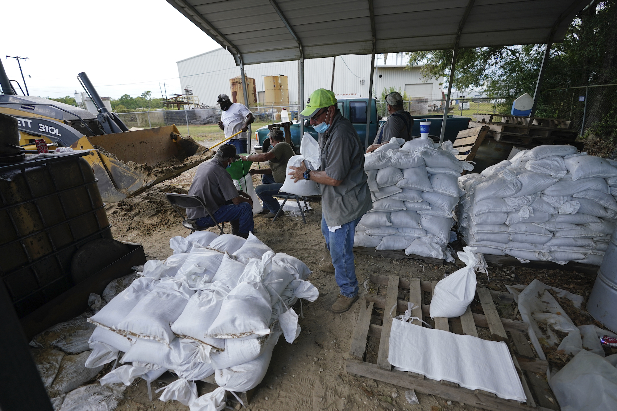


Forecasters warn that seawater higher than a basketball hoop could swamp entire communities.
WATCH: What is the Saffir-Simpson scale for hurricanes

Towns near the Louisiana-Texas state line are bracing for the worst. Laura already killed at least 11 people in the Dominican Republic and Haiti, where it knocked out power and caused flooding in the two nations that share the island of Hispaniola.
Laura would transition to a post-tropical depression and work its way through the Ohio River Valley and could race east to bring North Carolina some rain Friday night into Saturday. Laura could carry tropical-storm-force winds into Arkansas
Fujiwhara effect: Can 2 hurricanes merge into a megastorm?
Marco brought heavy rain, gusty winds and significant storm surge to parts of the gulf coast Monday night into Tuesday morning. Marco made landfall near the mouth of the Mississippi River, close to New Orleans around 6 p.m. Monday night but the ragged storm continued to weaken.
Storm Ready 2020: Preparing in a Pandemic

KEY POINTS:
- Marco made landfall Monday evening and Laura will make landfall Wednesday.
- For North Carolina, Laura brings the possibility of rain Friday and Saturday.
WATCH: Preparing your hurricane kit during COVID-19