AccuWeather: Feeling rather toasty on Wednesday in Philadelphia region


Wednesday, September 9, 2026 9:50AM
WPVI
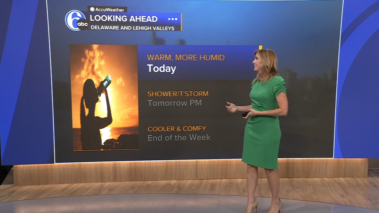
PHILADELPHIA (WPVI) -- Turning warmer and more humid over the next couple of days. Rain chance late Thursday.
WEDNESDAY: Mix of sun and clouds with increasing humidity and wind. High of 89.
THURSDAY: Partly sunny at times and very humid. Stays warm. A downpour or thunderstorm is likely late in the day. High of 87.
FRIDAY: As the front pushes south, sunshine returns and humidity drops, making for a nice start to the weekend. High of 82.

SATURDAY: Bright and comfortable, high 83.
SUNDAY: Watch for scattered showers or storms, especially the first half of the day. It's humid for the Eagles' season opener, high 83.
MONDAY: We might start with a few showers near the shore, then partly sunny, high 84.
Copyright © 2026 WPVI-TV. All Rights Reserved.