AccuWeather: Tracking severe storms tomorrow in the Philadelphia region


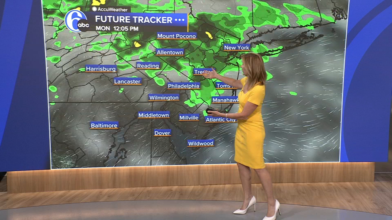
PHILADELPHIA (WPVI) -- It's humid with a few showers for kids going back to school today, but steamy and stormy tomorrow.
MONDAY: There will be a few spotty showers today. Remaining humid, with more clouds than sun, high 83.
TUESDAY: September starts hot with a mix of sun and clouds, high 91. When you factor in the humidity it will feel like the upper 90s. Scattered strong to severe storms will be possible along with localized heavy rainfall, especially evening and night.
WEDNESDAY: Mostly cloudy and humid with a few late day thunderstorms possible, high 85. Watch for localized heavy downpours.
THURSDAY: Hot again and very muggy with scattered strong to severe storms possible, high 90. Watch for localized heavy downpours.


FRIDAY: Sunny and less humid, high 86.
SATURDAY: Partly sunny and seasonable, high 82.
SUNDAY: Humidity is nice and low with mostly sunny skies, high 80.