Jan 24, 2026, 4:55 AM GMT
Here's how much snow could fall this weekend
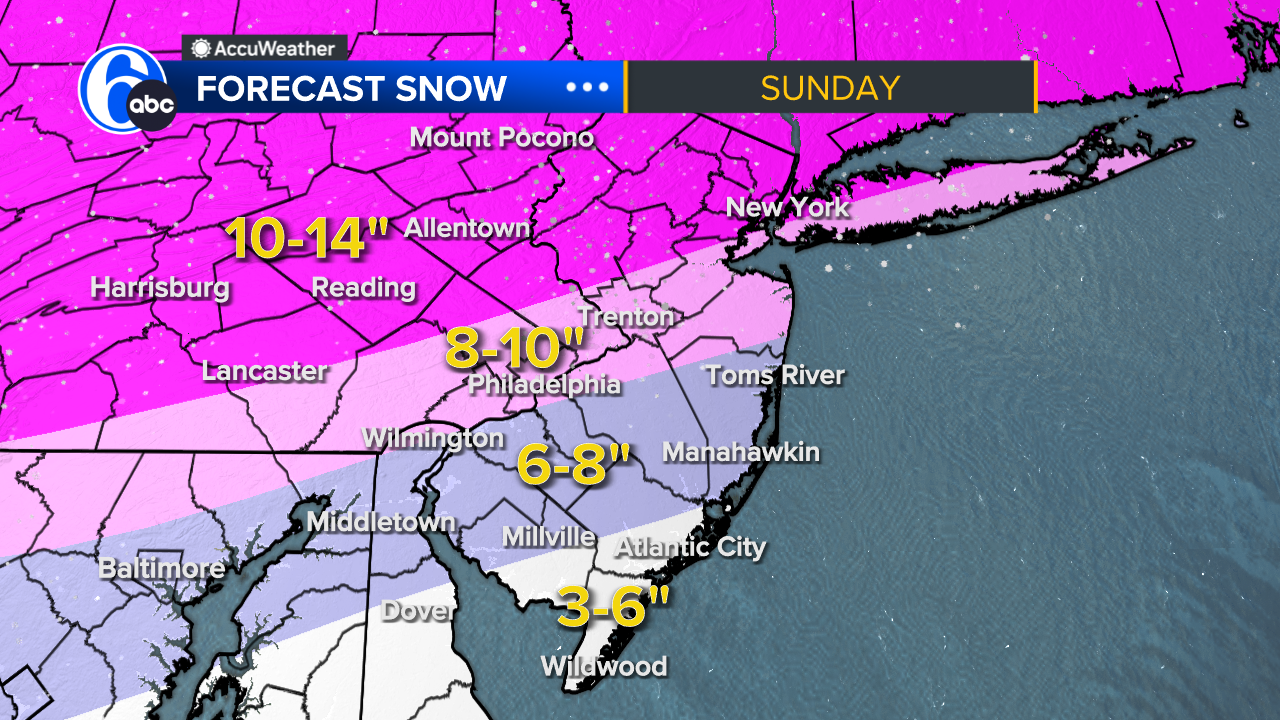
Here's a look at your expected snow totals for the Philadelphia region ahead of this weekend's storm.
The forecast shows quite the gradation from I-95 to the coast. This is due to warm air moving in during the later part of the storm, leading to mixing across a large portion of the area. That mixing will lower snowfall totals for several locations.
The latest trend shows a stronger push of warm air aloft. That means more mixing farther north. So, that snowy winter wonderland Sunday morning turns into a sleet/icefest for most of our area by lunchtime.
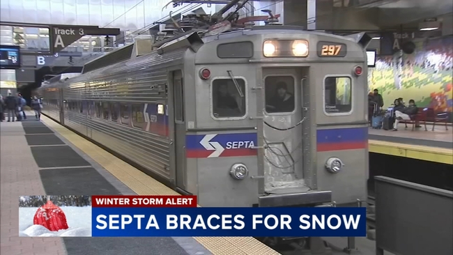
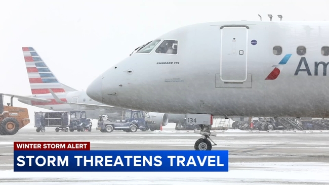
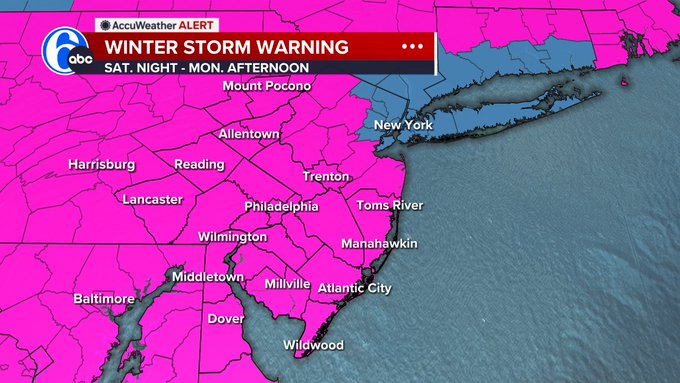
Winter Storm Warning have now been posted for our entire area from Saturday evening into Monday.
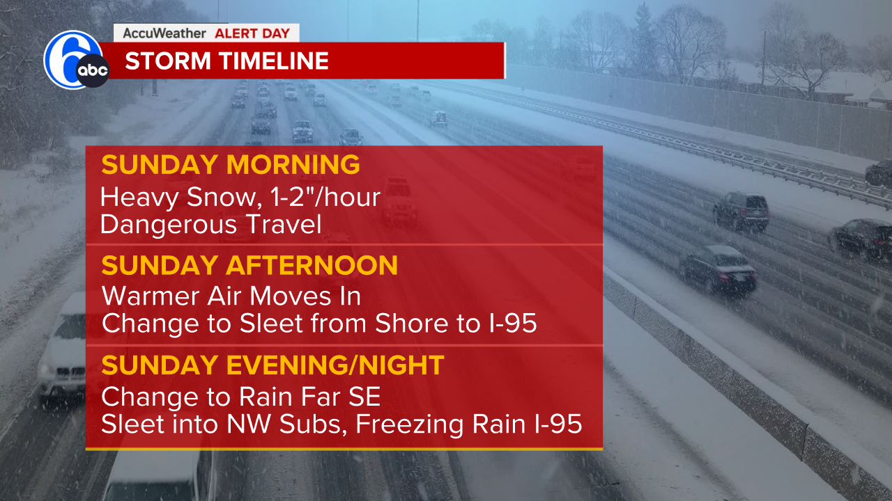
TIMELINE
Sunday morning
- Heavy Snow with rates of 1-2"/hour
Dangerous travel
Sunday afternoon
- Warmer air moves in, allowing mixing to move northwest from the coast to I-95. This is when sleet will take over. Sleet arrives in Philly between 3 to 6 p.m.
Sunday evening
- Far southeastern areas turn to rain as milder air moves in. Sleet may mix in as far north as the Lehigh Valley
- I-95 could see a period of freezing rain at the end
- Nothing melts for days as highs remain below freezing into later next week.