AccuWeather Alert: Tracking severe storm threat today in the Philadelphia region | LIVE RADAR


PHILADELPHIA (WPVI) -- We start with some sun, but storms develop this afternoon and evening and they may be severe.
THURSDAY: A flood watch has been posted for Thursday afternoon and lasts through tonight.
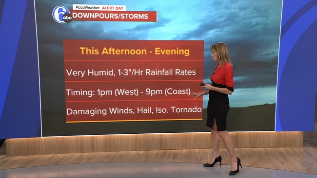
We could see rainfall rates of 1-3" per hour, which may lead to ponding, runoff, and localized flooding. The unfortunate timing of this is likely to impact the evening rush in some form tomorrow. In addition to an elevated flood threat, the severe weather potential has increased.
From Philadelphia on south (including Delaware and South Jersey), we could see scattered severe thunderstorms. All modes of severe weather are on the table, meaning storms will be capable of producing damaging wind gusts, hail, and there could even be an isolated tornado. A humid high of 85.
FRIDAY: Slightly less humid, clouds & sun, high 82.
Top Stories


SATURDAY: As a front stalls, it looks unsettled with a downpours and storms around, potentially creating more flood concerns, high 78.
SUNDAY: It's still a bit unsettled with a few showers and thunderstorms possible, high 85.
MONDAY: Mostly sunny, high 82.
TUESDAY: Another beauty, high 81.
WEDNESDA: It's partly sunny and a touch warmer with a high of 86. Rain may develop at night.