AccuWeather Alert: Scattered downpours and storms tomorrow in the Philadelphia region


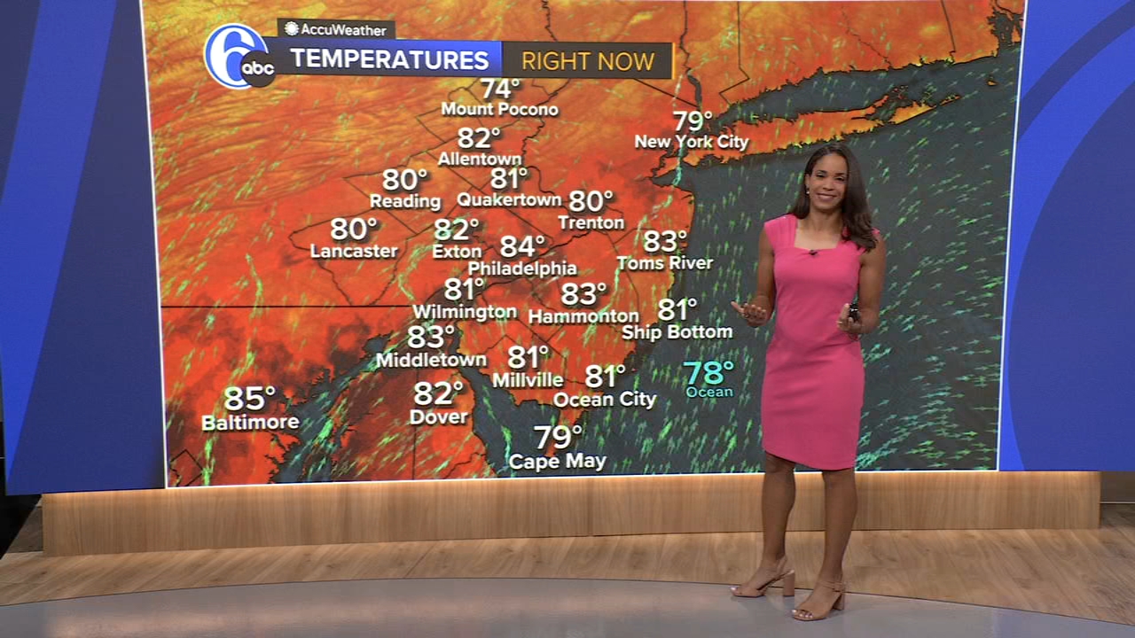
PHILADELPHIA (WPVI) -- A flood watch goes into effect Thursday afternoon and continues through Thursday night for downpours that may lead to localized flooding.
TONIGHT: Clouds thicken and humidity rises, low 70.
THURSDAY: The tropical humidity is back with a few spotty downpours and even a thunderstorm during the morning. By mid-day we'll see some sunshine and a few pop-up storms, high 84.
By the afternoon and evening, scattered downpours and storms develop. Storms will be capable of producing damaging wind gusts. An isolated tornado can't be ruled out.
The greatest threat will be downpours that could produce 1-2"/hour rainfall rates. Watch for instances of localized flooding.
FRIDAY: Clouds break with some sunshine returning. It's still humid with a spotty thunderstorm possible mainly south/east, high 86.
SATURDAY: It's the pick of the weekend with clouds and sun and comfortable humidity levels, high 85.
SUNDAY: Partly sunny and more humid, high 87. A pop-up storm can't be ruled out.
MONDAY: Heating back up, but staying dry, high 90.
TUESDAY: September starts hot with partly sunny skies, high 91.
WEDNESDAY: Intervals of clouds and sun, high 90.