AccuWeather: Beautiful stretch ahead for the Philadelphia region


Wednesday, July 22, 2026 9:08PM
WPVI
PHILADELPHIA (WPVI) -- Humidity drops tonight making for several days of comfortable conditions and plenty of sunshine.
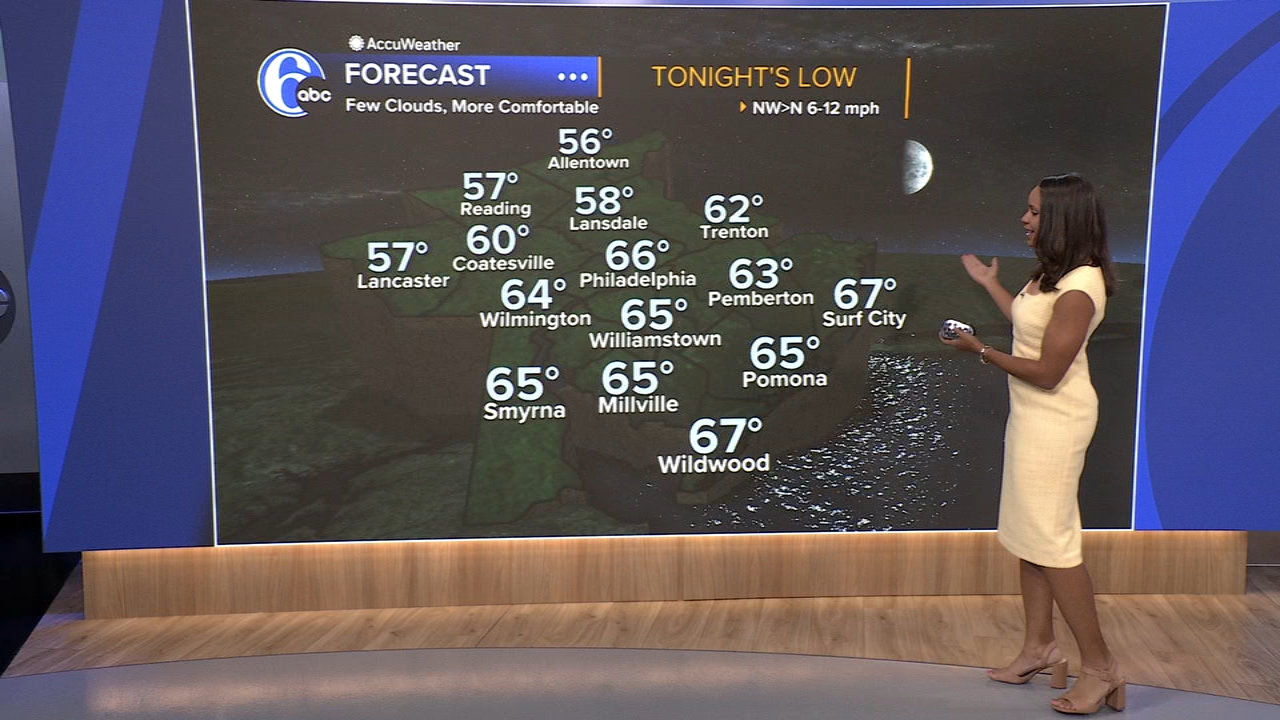
TONIGHT: An early storm can't be ruled out southeast. Skies are turning mostly clear with lower humidity, low 66.
THURSDAY: Mostly sunny and more comfortable, high 83.
FRIDAY: Remaining nice and bright, high 85.
SATURDAY: A sunny start to the weekend with a few patchy clouds, high 85.
SUNDAY: Another nice and dry day, high 86.
MONDAY: More humid with the chance of afternoon storms, high 88.
TUESDAY: Warm and muggy, scattered showers and thunderstorms possible, high 85.
WEDNESDAY: Partly sunny with a thunderstorm possible, high 85.
Copyright © 2026 WPVI-TV. All Rights Reserved.