Another round of storms swept through the region Tuesday night, prompting a tornado warning in several areas across the Delaware Valley, including New Castle County, Delaware.
The National Weather Service reported that a funnel cloud was spotted near 8th and Church Streets in Wilmington.
New Castle County officials say they have not received official reports of a tornado touching down in the area and warn there is a fake photo of a tornado in Pike Creek circulating on social media.
Storms trigger tornado warnings and damage across region
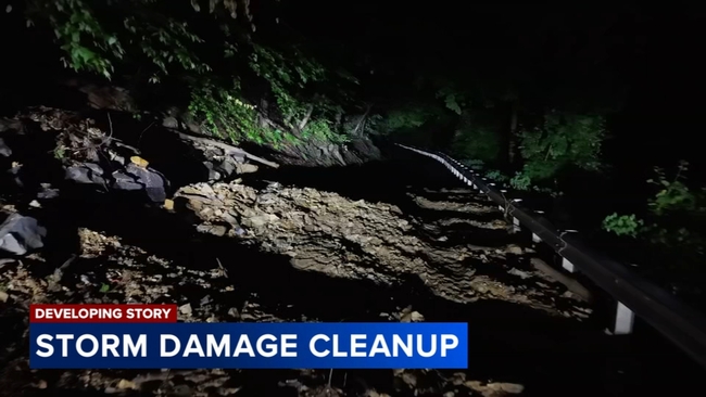
In Berks County, Pa., the severe weather left behind significant destruction.
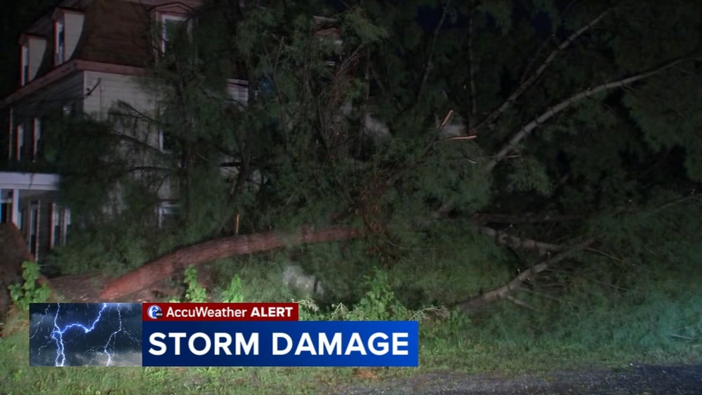
On Wanner Road in Alsace Township, massive trees toppled onto a home while the homeowner was away on vacation. Resident Marsha Horning described the moment the storm hit.
"It just got dark, and it started raining, and then it got very, very windy. And it rained so bad that you couldn't even see out your window," Horning said.
She added that debris slammed against her windows as the storm intensified.
"The stuff was blowing against the window, like bits of leaves and sticks and whatever. And when it was all over, the sun came out, and everything was full of damage."
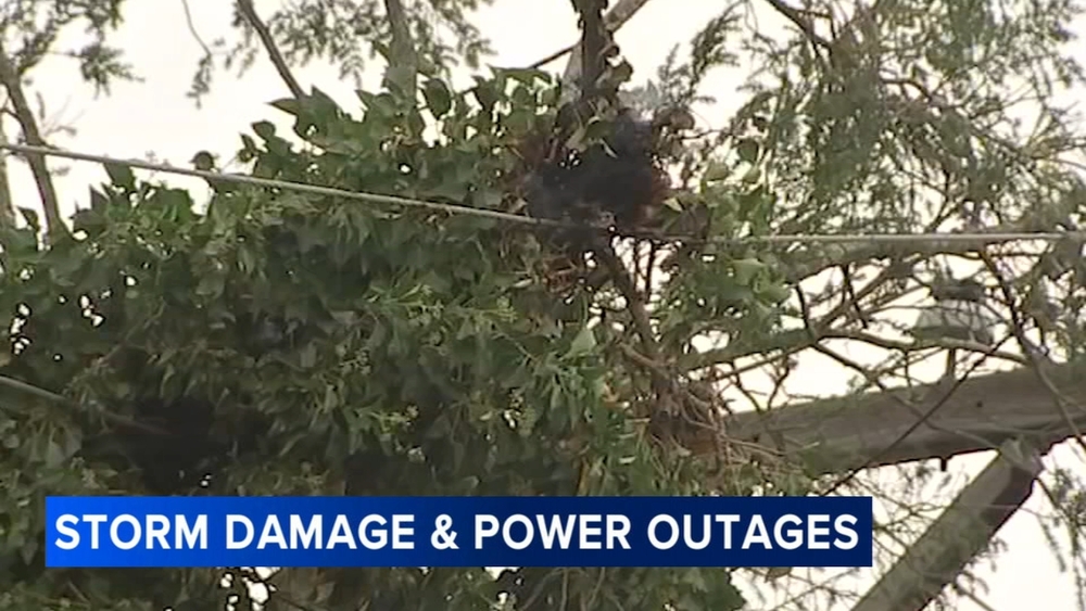
Across Berks County, downed trees blocked roads and forced drivers to find alternate routes. More than 2,000 Met-Ed customers lost electricity during the storm.
"No power, no. Supposedly, there's damage on a lot of the roads around her," Horning said.
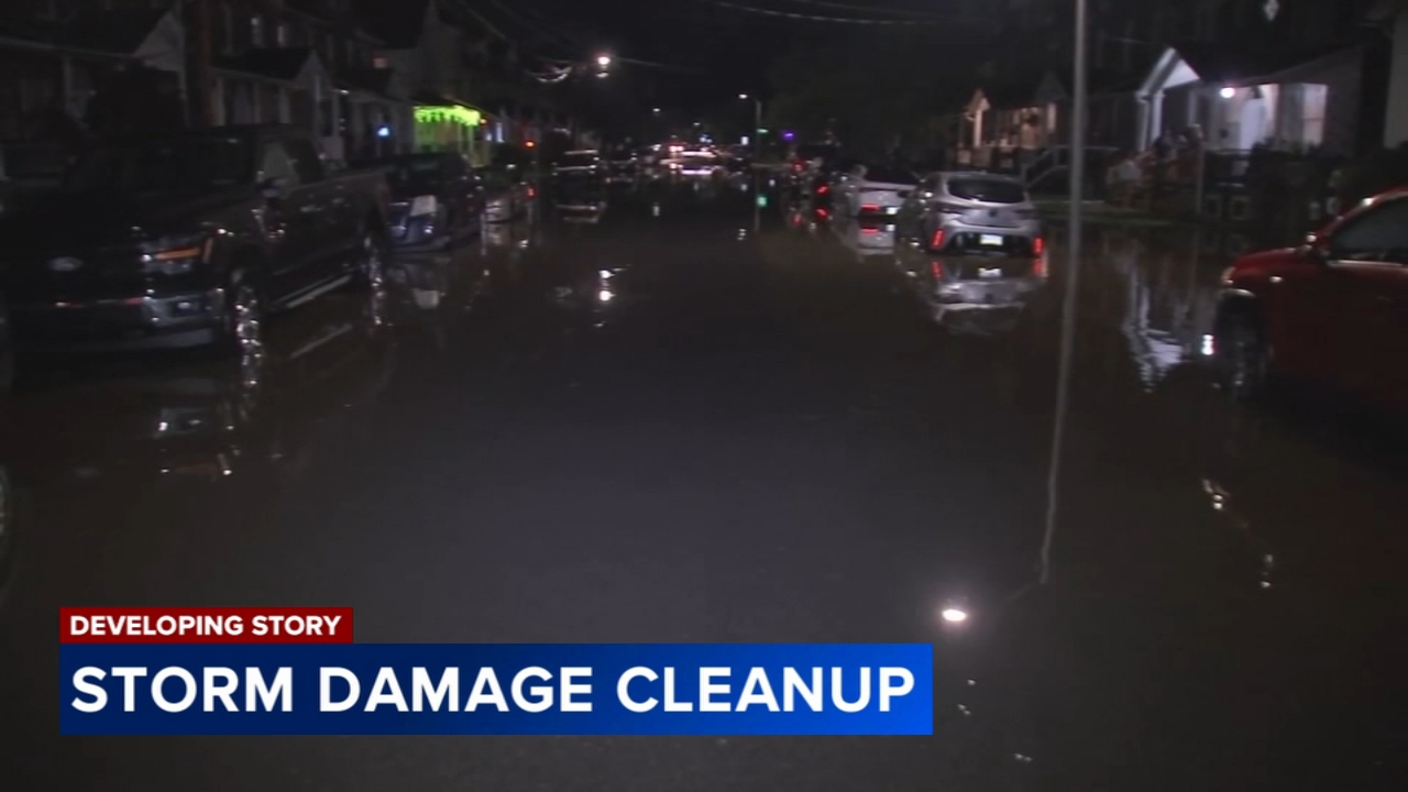
Flooding was also an issue in parts of Quakertown, Bucks County. The Action Cam was at 4th Street and Park Avenue, where at least one basement was flooded.
Homeowners were seen pumping water out on Tuesday night.
In Lehigh County, heavy rain affected local businesses.
The Inside Scoop ice cream shop in Coopersburg used sandbags to prevent flooding as water pooled outside. Roads turned into rivers, including Route 309 in Upper Saucon Township, where some drivers attempted to navigate the flooded roadway while others turned back.
Residents say cleanup efforts will continue on Wednesday.