Tracking winter storm: Breaking down the timing and impacts
The Action News team continues to track a major winter storm that could bring accumulating snow to the region.
Here is the latest update on timing and what to expect.
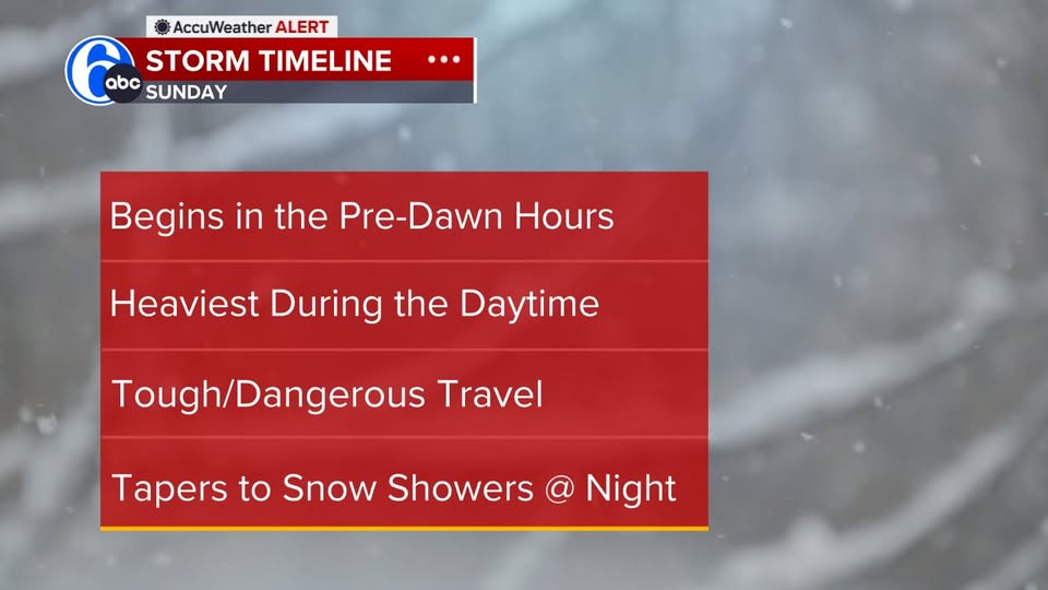
TIMELINE
The biggest impact is going to be on Sunday. We have issued an AccuWeather Alert.
The latest model guidance now tracks the storm a little farther north. This means there could be some mixing as far north as I-95 after a good thumping of wet, heavy snow at the onset.
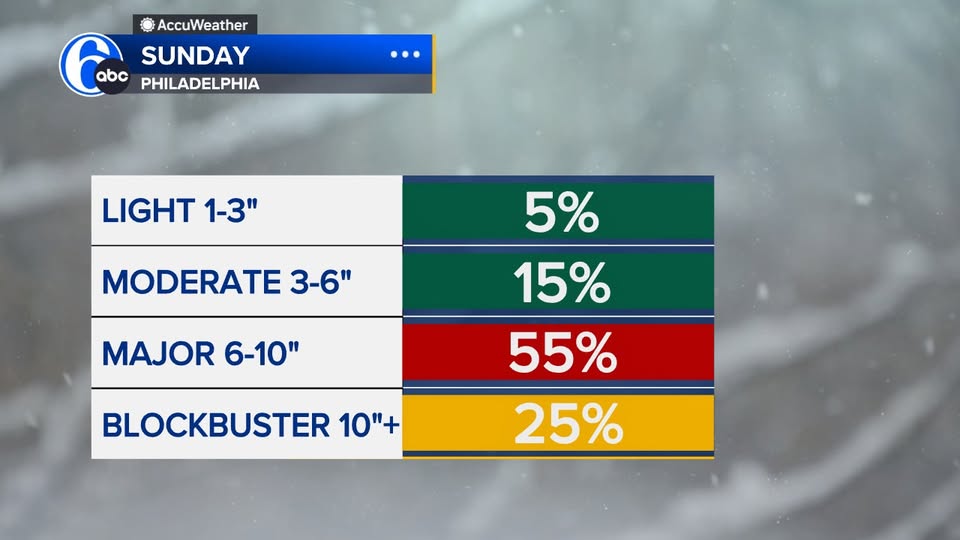
HOW MUCH SNOW?
Speaking of heavy snow, most areas could see at least six inches out of the storm or more. The last time we had a storm this large in Philadelphia was six years ago.
Early estimates show snowfall totals in Philadelphia could be major - six to ten inches.
UNDERSTANDING THE TRACKS
The two tracks are back. First, there's the GFS, which places the storm farther south. That keeps the cold air locked in throughout the event, meaning all snow from start to finish.
Meanwhile, the Euro hugs the coast. That introduces some warm air into the upper atmosphere, which could change the snow over to sleet or freezing rain after an initial heavy burst.
No matter which model you look at, all the ensembles - dozens of models blended together - still indicate the region is getting hit by this storm.
OUTSIDE THE CITY
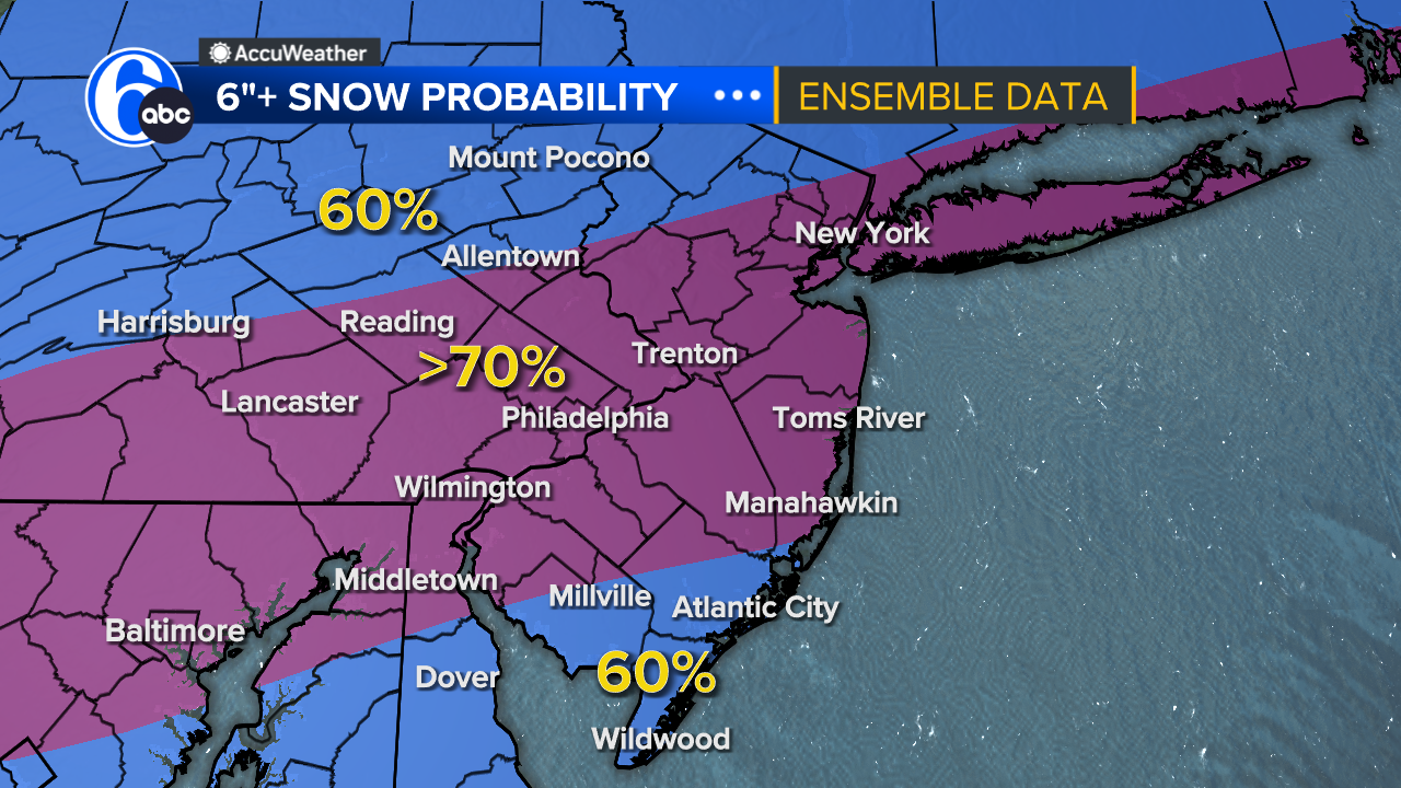
Aside from Philadelphia, who else could see at least six inches of snow?
We're giving it a 70% chance for most of the Delaware Valley, northern Delaware, parts of South Jersey, and areas just south of the Lehigh Valley.
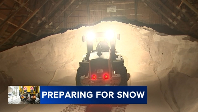
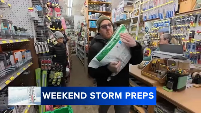
BE PREPARED
It's still days away. A lot will change in the coming days, but one thing looks clear: we're not going to miss the storm.
More than likely, you'll need the snow blower.