MAPS: Hurricane Matthew track moves closer to our area


PHILADELPHIA (WPVI) -- Hurricane Matthew hit Haiti and headed toward Cuba on Tuesday as a Category 4 storm, and the latest models show it could have an impact on our area by this weekend.
Matthew had 145 mph winds and was moving north at 10 mph.
It could remain at Category 4 hurricane as it nears Florida by Thursday, and a Category 3 by Friday morning.
By Saturday morning, models show it coming ashore in South Carolina as a Category 2 storm with 105 mph winds.
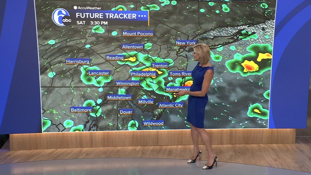
On Tuesday, the National Hurricane Center released its first model run of where Matthew may go once it reaches our area by Sunday morning.


The storm could pass over the Delmarva Peninsula as a Category 2 storm before heading back over water, weakening to a Category 1 hurricane with 90 mph winds as it passes by the New Jersey and Delaware shores.
If that scenario plays out, it would mean heavy rain across the region and strong tropical storm force winds, especially at the shore.
However, it is still early and the models are subject to change as the week goes on.
Track the latest position of Hurricane Matthew with our interactive map on 6abc.com.