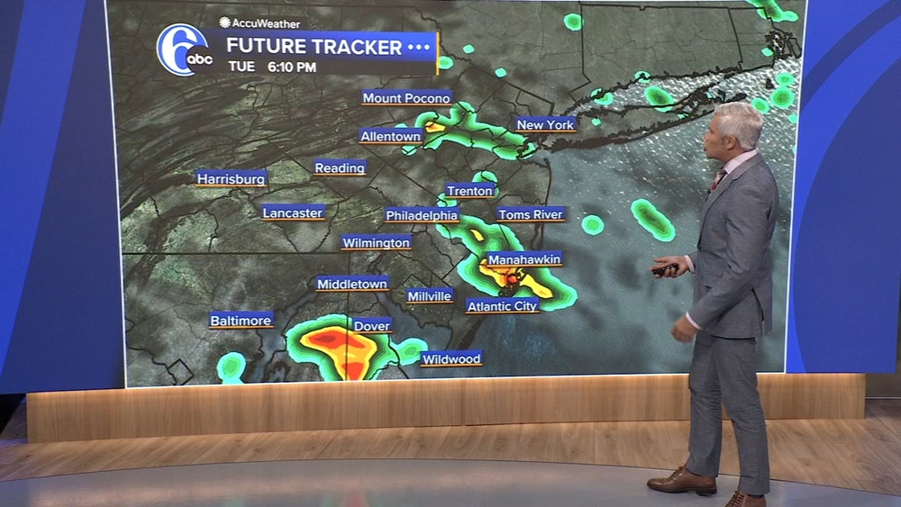
Videos capture waterspout before tornado warning in Cape May County

PHILADELPHIA (WPVI) -- A line of severe storms brought down trees, flooded roadways, and triggered a tornado warning Tuesday evening.
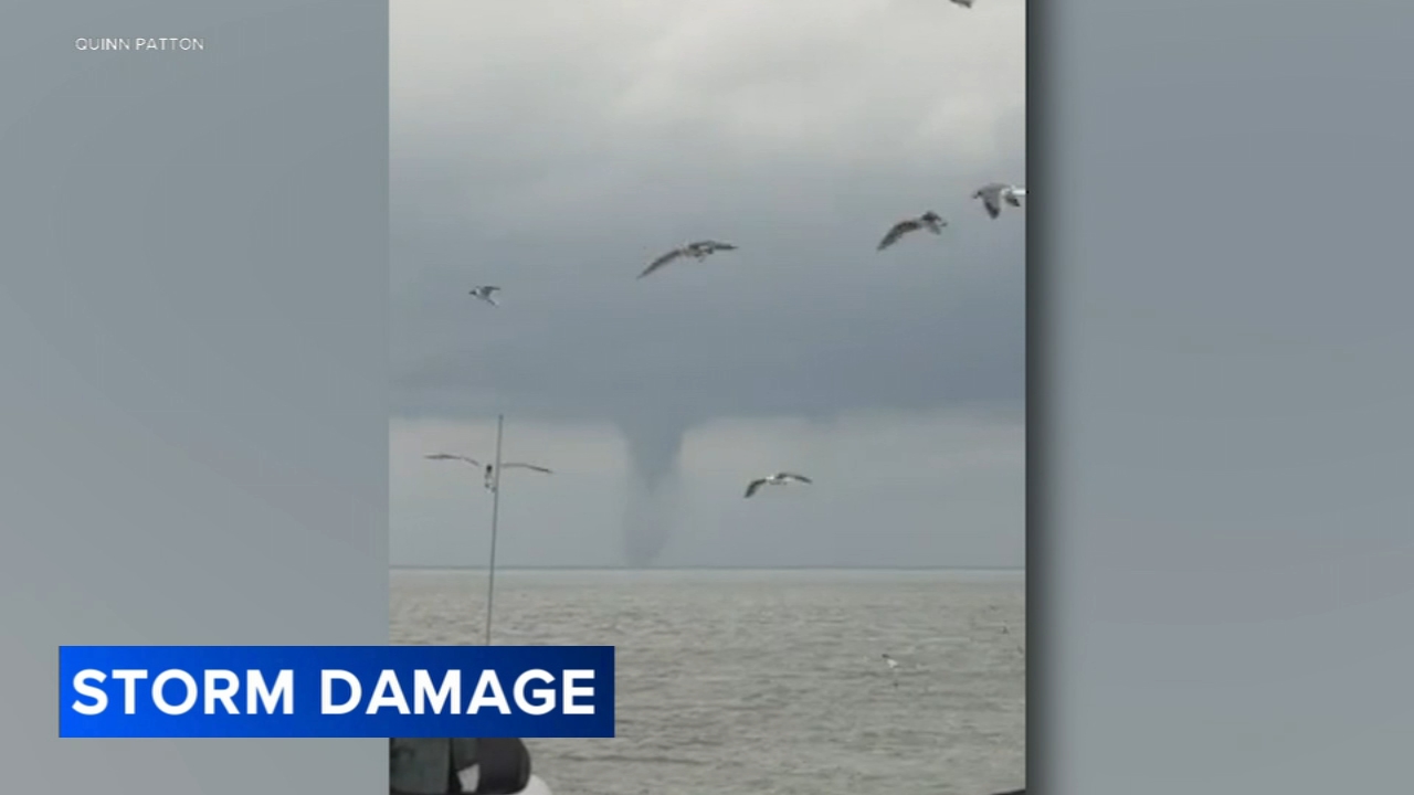
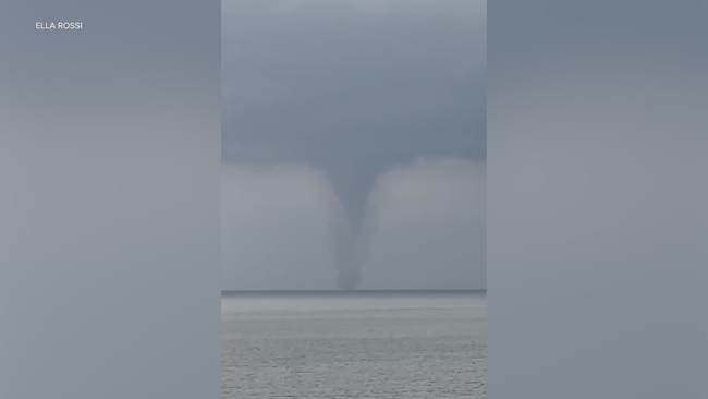
Videos obtained by Action News captured a waterspout in the Delaware Bay coming ashore before prompting a tornado warning in Cape May Point, New Jersey.
Bob Mullins recorded the waterspout around 5:47 p.m. from Lewes Beach in Delaware while looking northwest across the bay.
Ella Rossi and Quinn Patton also captured similar videos while aboard the Cape May-Lewes Ferry.
The National Weather Service said it plans to conduct a virtual survey of the area.
In a statement, the agency said damage was "sporadic" and that the tornado likely dissipated shortly after coming ashore.
No injuries were reported.

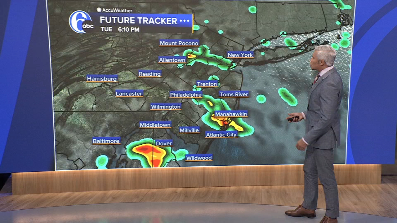

In Delaware, the storms caused damage and power outages.
A large oak tree crashed onto the home of 91-year-old Cathy Patnovic along Bridlebrook Lane in Newark.
"I had no clue, really. I was kind of in shock," Patnovic said.
The tree fell around 5 p.m. while Patnovic was watching television inside her home.
Flash flooding was also reported at the Abbey Walk Apartments on Abbey Lane and on several major roadways in downtown Wilmington. Some residential streets were inundated with water.
At the height of the storm, Delmarva Power reported about 3,200 customers without electricity. Restoration efforts remain ongoing.
The DelGiorno family was among those waiting for power to be restored.
"I was aware it was going to storm, but we did not think it was going to be as bad as it was," said Amanda DelGiorno of Newark. "It was really white, super windy, almost scary. We went down to the basement. The power went out, and it's been like this ever since."
Officials in New Castle County said conditions continue to improve but urged residents to remain cautious as cleanup and restoration efforts continue.