Severe storms may bring heavy rain, flash flooding to the Philadelphia region

WPVI logo
Last updated: Tuesday, July 28, 2026 6:27PM GMT
Live StormTracker 6 and Sky 6
Track every storm using StormTracker 6 Live Radar.

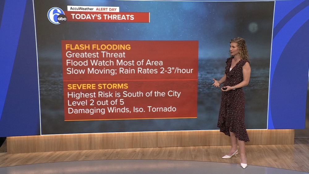
Downpours and storms could develop at any time today with intense rainfall and even gusty winds.

Tuesday will be the most active day this week with unsettled weather possible at any point of the day. Tropical humidity will fuel our biggest risk of flooding downpours.

A severe weather risk exists too, which is slightly elevated south of the city. Other than intense rainfall, damaging wind gusts and a brief tornado are possible. High 79.

WPVI logo
Jul 28, 2026, 6:24 PM

Get Severe Weather Alerts at 6abc.com/Weather

Severe weather alerts are in effect across the region Tuesday as a line of powerful storms moves through.

For the latest alerts in your area, visit this page at 6abc.com/Weather.

WPVI logo
1 hour and 58 minutes ago

How much water does it take to stall a car on the roadway?

The threat of flash flooding means water can build up quickly, leaving drivers with little time to react.
When to turn around when water is on roadway

Drivers are reminded of the dangers of driving through flooded roadways.

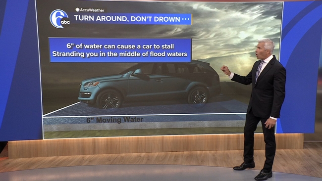
Meteorologist Adam Joseph says just six inches of water can be enough to cause a car to stall, stranding drivers in the middle of flood waters.

Twelve inches of fast-moving water can carry a small car away, Joseph said.

More than a foot of fast-moving water can carry away most large SUVs.

So, if you are ever in doubt, remember the saying, "turn around, don't drown."
WPVI logo
1 hour and 26 minutes ago

Flood Watch in effect for the Philadelphia region

A Flood Watch is in effect for the Philadelphia region as severe storms are set to hit our area on Tuesday.

The Watch went into effect Tuesday morning and will remain in effect until 2 p.m. Wednesday.

For the latest forecast and StormTracker 6 radar, visit 6abc.com/Weather.