Hurricane Joaquin track shifting away from shore


PHILADELPHIA (WPVI) -- Forecasting models released early Friday show Hurricane Joaquin continuing to track east as it heads up the Atlantic, moving it away from our area.
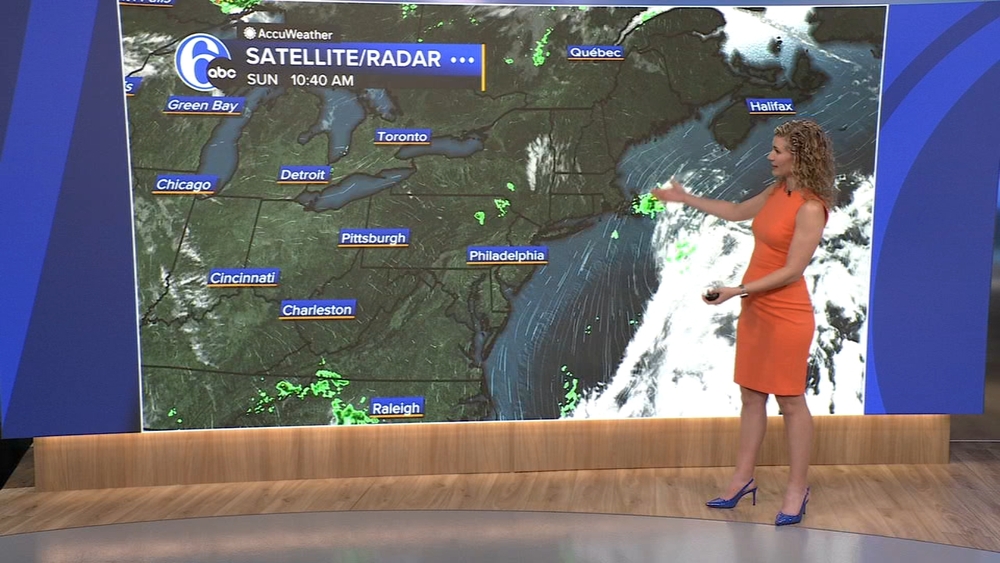
This means rain and wind will not be as bad on Saturday or Sunday, although coastal flooding will continue to be an issue following the current coastal storm hitting the area.

The on-shore flow from the storm will continue to pile up water on the beaches and into the back bays.
It should be noted that the storm, while distant, may still be at Category 1 strength near our latitude, aiding the continued shore effects.
Hurricane Joaquin gained strength to become a Category 4 storm on Thursday.
Joaquin had maximum sustained winds of 130 mph (215 kph), the U.S. National Hurricane Center in Miami said.
As of 8 a.m. EDT Friday, the storm was located about 30 miles (50 kilometers) north-northeast of Long Island and was moving northwest near 3 mph (6 kph). Hurricane force winds extended outward up to 50 miles (85 kilometers) and a hurricane watch was in effect for Bimini and Andros Island.
Stay with Action News, 6abc.com and AccuWeather for the very latest storm track.