Action News viewers capture eerie sky during morning storm | What are shelf clouds?
Action News meteorologist Chris Sowers explains the reason we saw shelf clouds during the morning thunderstorm.

PHILADELPHIA (WPVI) -- The gloomy Tuesday morning didn't start too picturesque, but Mother Nature still had Action News viewers grabbing their cameras to capture the clouds in the sky.
The clouds that attracted all the attention are called shelf clouds.
As AccuWeather describes them, shelf clouds are low, horizontal wedge-shaped clouds, associated with a thunderstorm gust front (or occasionally with a cold front, even in the absence of thunderstorms).
Action News meteorologist Chris Sowers explains the reason we saw shelf clouds this time around was because of the MCS - or Mesoscale Convective System - which developed on Monday.
"These systems are known as ridge runners because they tend to travel around the outer edges of ridges or heat pump high-pressure systems. This one was no different. It developed across the high plains yesterday afternoon, barreled through the Midwest overnight and into the Mid-Atlantic states this morning," Chris explained.
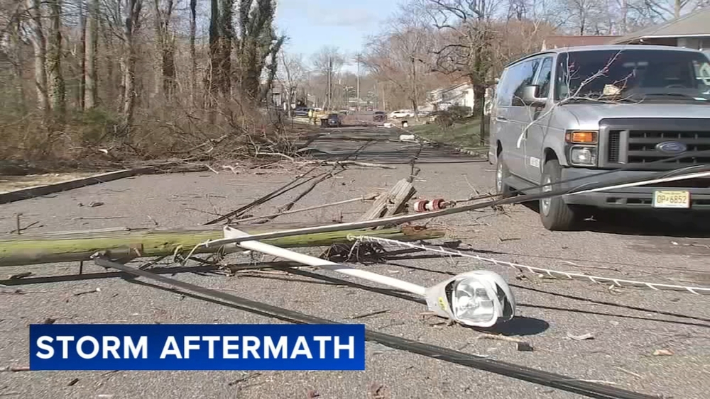
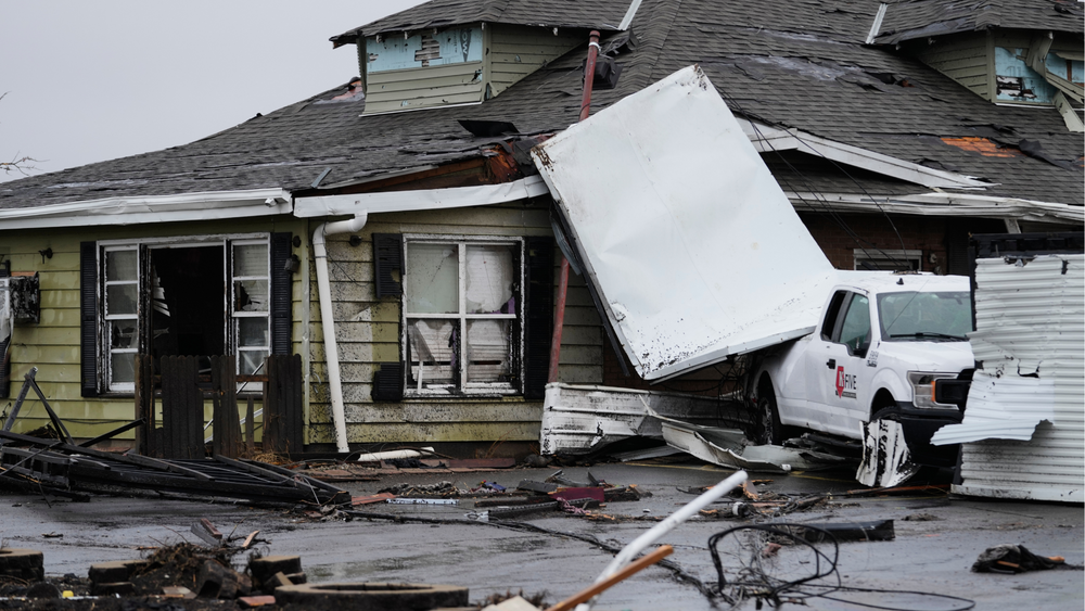
The Storm Prediction Center lists over 350 wind damage reports from this storm, Chris said.
"Thankfully, it weakened as it entered our viewing area. However, we still saw a 10 to 15-minute burst of heavy rain and a tremendous light show with hundreds of cloud-to-ground lightning strikes," Chris said.
The National Weather Service says shelf clouds are often associated with squall lines.
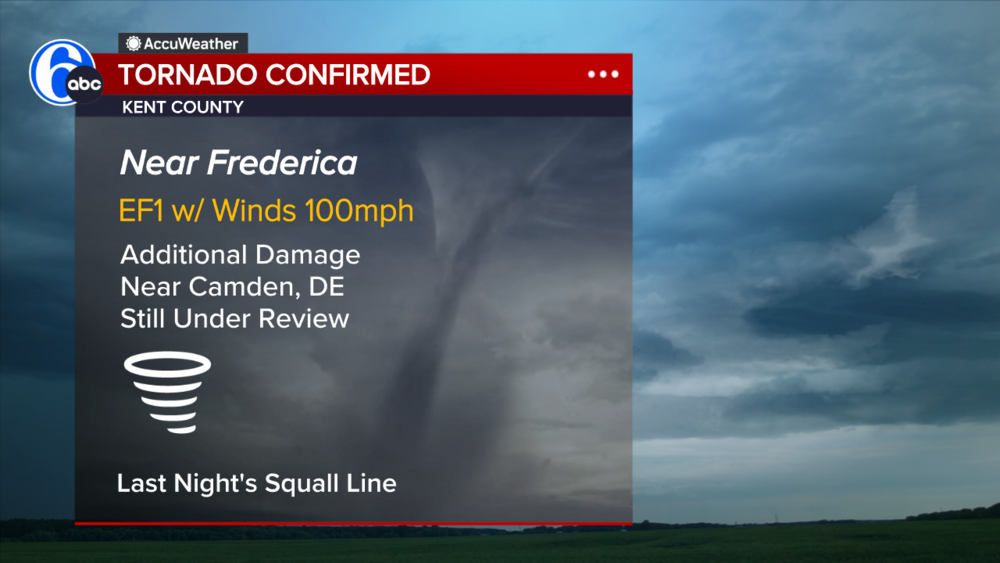
And, sure enough, as Chris points out, a squall line formed on the leading edge of this system.
"The attractive cloud formation that many witnessed this morning was created by the downdrafts within the thunderstorms embedded in this squall line," Chris said. "It's the downdraft or that cooler rush of air spreading outward from the storm."
AccuWeather says most false tornado and false funnel cloud reports are associated with shelf clouds.
"Usually there isn't any persistent rotation on a vertical axis within shelf clouds or within individual cloud fragments that extend downward from the shelf cloud," AccuWeather said, "Therefore, they are just another scary-looking cloud."


