AccuWeather: The weekend starts nice and bright for the Philadelphia region


Saturday, July 25, 2026 11:45AM
PHILADELPHIA (WPVI) -- Expect another quiet and dry day tomorrow before humidity builds and storm chances increase early next week.
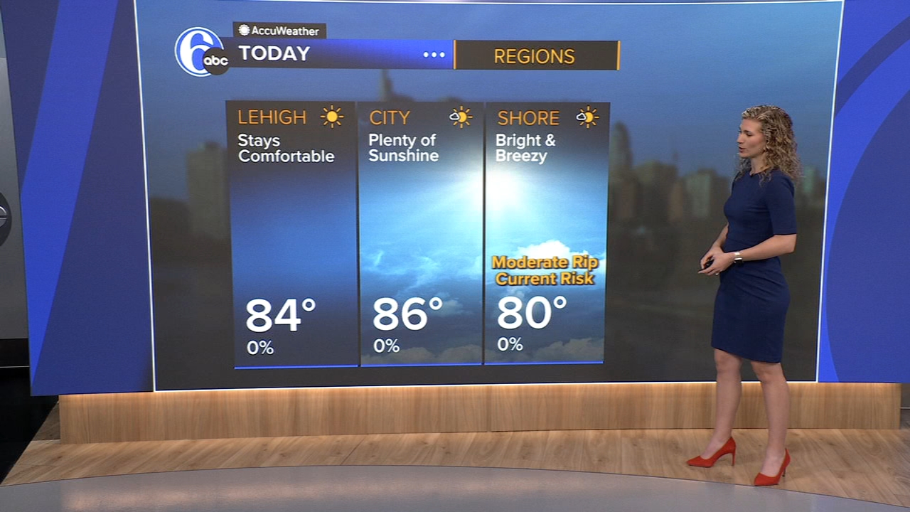
TODAY: Morning clouds near the coast quickly exit. Plenty of sun, continued low humidity. High 86.
TONIGHT: Clear and comfortable. Low 64, 50s in the suburbs.
SUNDAY: Another nice and dry day, high 88.
MONDAY: Partly sunny, warm and more humid. A few late-day storms are likely, high 87.
TUESDAY: Very muggy with scattered downpours and storms around, high 82. We'll watch for gusty winds and possible flash flooding.
WEDNESDAY: Staying muggy, a few pop-up storms possible, high 84.
THURSDAY: Mostly sunny and less humid, high 86.
FRIDAY: Another sunny and comfortable day, high 87.
Copyright © 2026 WPVI-TV. All Rights Reserved.